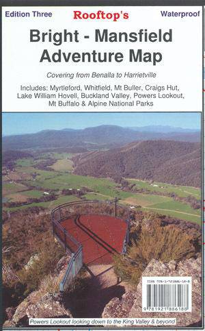


Description
The perfect map for exploring Bright's alpine area
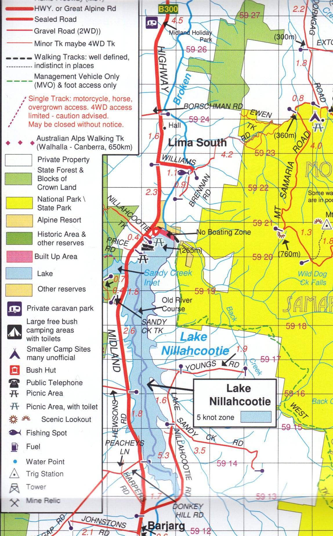
Map coverage is from Myrtleford, Bright, Moyhu and Benalla in the north to Mansfield, Mount Buller and Wonnangatta Station in the south. It includes Whitfield, Harrietville, Buckland, Buffalo River, Mount Buffalo, Powers Lookout and part of the Alpine National Park. Scale is 1:100,000.
The reverse of the map has a 1:50,000 scale enlargement titled 'Bright - Whitfield Forest Activities Map' featuring Mount Buffalo National Park which is ideal for bushwalking.
Recommended map for 4X4 to Buckland Valley, Buffalo Valley, Tolmie, Toombullup, Cobbler Lake, King River.
All parks, reserves and state forests are shown and all roads and tracks have been plotted using GPS mapping technology.
Additional product information
| Edition | 3rd edition. |
| Publication date | 2016 |
| Map Scale | 1:100,000. (reverse map 1:50,000) |