
Description
Buxton to Taggerty
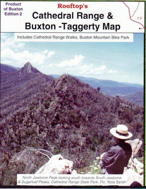
Coverage includes all of Cathedral Range State Park between Buxton, Taggerty and the Blue Range Road.
All walking tracks have been field-checked and the map contains notes for a selection of easy and hard walks. There is also a map of Buxton township walking and mount bike tracks.
Pocket-sized map. Waterproof andamp; tear resistant.